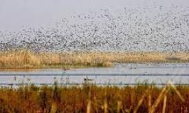
How much potential impact may humans living in a protected area have on that protected area and on the habitats, species and ecological processes therein? How much of this potential impact is due to recent (15-year) increases in human population density? By identifying protected areas with low population density, it is possible to highlight locations that are likely to better conserve the species and ecological processes that are associated to more pristine conditions and that are more sensitive to the direct and indirect impacts from human activities.
RIS Feed
Indicator
Change in Population Pressure Indicator (CPPI)

18187
Indicator
Population Pressure Indicator (PPI)

How much potential impact may humans living in a protected area have on that protected area and on the habitats, species and ecological processes therein? How much of this potential impact is due to recent (15-year) increases in human population density? By identifying protected areas with low population density, it is possible to highlight locations that are likely to better conserve the species and ecological processes that are associated to more pristine conditions and that are more sensitive to the direct and indirect impacts from human activities.
18184
Indicator
Time Series - Red List Index

Extract from the UN Statistics Division SDG metadata:
The Red List Index measures change in aggregate extinction risk across groups of species. It is based on
genuine changes in the number of species in each category of extinction risk on The IUCN Red List of
Threatened Species (IUCN 2015) is expressed as changes in an index ranging from 0 to 1.
The full metadata record is available here.
18151
Indicator
Time Series - Average proportion of Freshwater Key Biodiversity Areas (KBAs) covered by protected areas (%)
Extract from the UN Statistics Division SDG metadata:
This indicator Proportion of important sites for terrestrial and freshwater biodiversity that are covered by protected areas shows temporal trends in the mean percentage of each important site for terrestrial and freshwater biodiversity (i.e., those that contribute significantly to the global persistence of biodiversity) that is covered by designated protected areas.
The full metadata record is available here.
18012
Indicator
Trend in permanent surface water extent
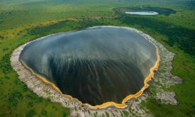
The trend analysis for surface water extent is based on the Global Surface Water dataset and shows the change in the areal extent of permanent water from 1983 to 2016. The chart shows only the actual observed areas and does not include the estimate for the un-observed area (i.e. a measure of the confidence level). Sudden increases or decreases in the data are normally a sign that there was no available imagery for the country for those years. Generally image acquisition was more systematic from 1999 onwards.
17963
Indicator
Area of Intact Forest Landscapes (IFLs) logged (km2)

This indicator shows the total area of Intact Forest Landscapes that have been logged in the Pacific Region since 2000 using data from Global Forest Watch.
17880
Indicator
Number of PA management effectiveness assessments in GD-PAME database
The Global Database on Protected Area Management Effectiveness (GD-PAME) is the most comprehensive global database of management effectiveness assessments for protected areas (PAME). It indicates if a protected area documented in the World Database on Protected Areas (WDPA) has been assessed. The GD-PAME is a searchable database that includes assessments submitted by a wide range of governmental and non-governmental organizations to UNEP-WCMC, and is updated on a monthly basis.
This chart shows the number of assessments done for the ACP region,
17858
Indicator
Average proportion of Marine Key Biodiversity Areas (KBAs) covered by protected areas (%)
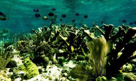
The indicator Coverage of protected areas in relation to marine areas shows temporal trends in the mean percentage of each important site for marine biodiversity (i.e., those that contribute significantly to the global persistence of biodiversity) that is covered by designated protected areas.
625
Indicator
Proportion of fish stocks within biologically sustainable levels (not overexploited) (%)
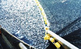
The indicator Proportion of fish stocks within biologically sustainable levels measures the sustainability of
the world's marine capture fisheries by their abundance. A fish stock of which abundance is at or greater
than the level, that can produce the maximum sustainable yield (MSY) is classified as biologically
sustainable. In contrast, when abundance falls below the MSY level, the stock is considered biologically
unsustainable.
622
Indicator
Number of PAs with at least one IMET assessment
The target for the BIOPAMA project is to have completed 200 Integrated Management Effectiveness (IMET) assessments for the ACP region by 2023. This indicator tracks progress against that target.
607