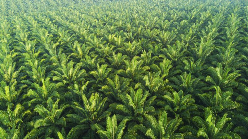
Oilpalm
BIOPAMA - Industrial and smallholder oil palm plantations mapping
Global demand for vegetable oils (soy, cottonseed, sunflower, oil palm, etc.) is increasing which implies the need to optimise vegetable oil production while minimising its environmental impacts on biodiversity and in particular inprotected areas. Within the BIOPAMA project, we have developed an automated processing chain, based on freely available satellite data to detect oil palm plantations globally with a special focus on the ACP region.
Read More
We produced the global oil palm map (GOPM) at different levels of detail: Level-1 (probability of mature oil palm plantation), Level-2 (thematic map with three classes:industrial mature oil palm, smallholder mature oil palm, and other land uses), and Level-3 (thematic map with five classes: industrial young and mature oil palm, smallholder young and mature oil palm, and other land uses).
The methodology employed a state-of-the-art artificial intelligence based approach and used freely available Copernicus imagery (Sentinel-1 and Sentinel-2), which allows us to create a monitoring system (i.e. generate an oil palm map every 12 months).The results proved the suitability of our methodology (overall accuracy = 97.5 % for the Level-2 product). Young plantations (Level-3) mapping is more challenging, and thus the final product has a 79.8% overall accuracy.
Scientific literature
Download (Level 2 set
Additional info: Zoltan.SZANTOI@ec.europa.eu

